Latest Version
Version
2.1.3
2.1.3
Update
November 26, 2024
November 26, 2024
Developer
Greenstand
Greenstand
Categories
Tools
Tools
Platforms
Android
Android
Downloads
0
0
License
Free
Free
Package Name
org.greenstand.android.TreeTracker
org.greenstand.android.TreeTracker
Report
Report a Problem
Report a Problem
More About Treetracker 2.1 by Greenstand
This tree tracking and mapping tool supports people and organizations that plant, monitor, and protect trees.
It's most basic function is designed to help planters keep track of their trees. More advanced features allow organizations to display tree data by embedding tree-maps on webpages. It is also part of a framework that enables organizations to employ people to plant on a per tree survival bases and allows individuals and organizations to sell and trade their restoration impact.
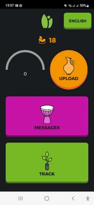
The 'Add Tree' feature takes a geo-tagged picture and automatically puts tree markers on a global map. Your trees upload to www.treetracker.org. Greenstand can provide custom maps showing your trees only or remove your trees from public view. Users can request access to the Dashboard in order to verify the uploaded trees by contacting [email protected].
** NOTE: Your app's default setting requires ten-meter GPS accuracy.
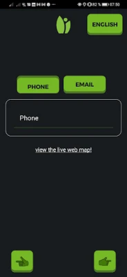
The app is designed to verify user accounts for the sale of tree-based impact and requires an image-based login each time it is used.
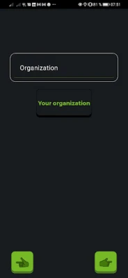
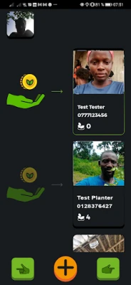
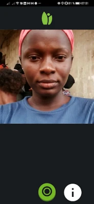
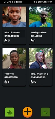
** IMPORTANT CHANGES: Tracking a tree involves taking a photo of the tree/seedling along with its location data (GPS co-ordinates). On entering the tree tracking mode in the app, a screen to select the grower is presented. Once the grower is selected, the camera screen is activated. On clicking the green button the app enters Convergence mode with a green processing circle appearing in the center of the screen. Note that during this convergence mode the image of the tree is not immediately captured. Instead a stream of location data from the device is processed to determine its accuracy and the moment the location data stays within a close range the convergence is complete and the image of the tree is captured. The duration of the convergence may take anywhere between couple of seconds to 60 seconds depending on the device. The motivation for this convergence is to associate precise location data to the captured tree and thus differs from other camera apps where clicking on the camera button immediately captures the image. Please comment on this feature which adds to the tracking time but hugely improves data accuracy.
Contact the Greenstand Team at [email protected] for more information, custom modifications, or other versions of this open-source software. For the full details of how this application can benefit your tree planting project reach out to us or visit our website www.greenstand.org
Rate the App
Add Comment & Review
User Reviews
Based on 0 reviews
No reviews added yet.
Comments will not be approved to be posted if they are SPAM, abusive, off-topic, use profanity, contain a personal attack, or promote hate of any kind.
More »


Popular Apps
Santander Inversiones Uruguay 5Banco Santander Uruguay

Santander Empresas Portugal 5Banco Santander Totta S.A.
Mi Tarjeta SantanderBanco Santander Uruguay

Santander Empresas ARBanco Santander (Argentina)

Santander ArgentinaBanco Santander (Argentina)
Santander EmpresasBanco Santander (Brasil) S.A.
SantanderSignSantander Consumer Bank AG (Deutschland)

Santander mobileSantander Bank Polska S.A.

Santander InternationalSantander International

UFCU Mobile 5UFCU
More »


Editor's Choice

Grim Soul: Dark Survival RPG 5Brickworks Games Ltd

Craft of Survival - Gladiators 5101XP LIMITED

Last Shelter: Survival 5Long Tech Network Limited
Dawn of Zombies: Survival GameRoyal Ark

Merge Survival : Wasteland 5StickyHands Inc.

AoD Vikings: Valhalla Game 5RoboBot Studio

Viking Clan: Ragnarok 5Kano Games

Vikings: War of Clans 5Plarium LLC

Asphalt 9: Legends 5Gameloft SE

Modern Tanks: War Tank Games 5XDEVS LTD

