Latest Version
Version
9.0.229-prod
9.0.229-prod
Update
November 19, 2024
November 19, 2024
Developer
Bucks County Covered Bridge Society
Bucks County Covered Bridge Society
Categories
Education
Education
Platforms
Android
Android
Downloads
0
0
License
Free
Free
Package Name
com.mytoursapp.android.app8520
com.mytoursapp.android.app8520
Report
Report a Problem
Report a Problem
More About Bucks County Covered Bridges
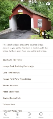
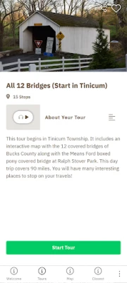
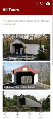
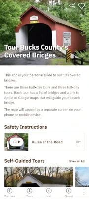
The Bucks County Covered Bridges Tour app takes you on a self-guided driving journey to 12 covered bridges, at your own pace. Bucks County is known for its beauty and history, and the county was one of the first to popularize covered bridge driving “safaris” in the late 1950s.
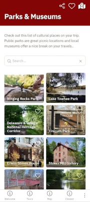
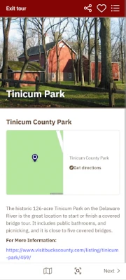
The app uses GPS to pinpoint directions to each bridge via the mapping software on your mobile device. Each bridge has a story page with audio about its history, and instructions about safety. The app also has locations for the public parks and museums on your drive. The app comes with pre-configured tours. But users can use its default map to customize their trip and save each bridge as a favorite for future trips.
Rate the App
Add Comment & Review
User Reviews
Based on 0 reviews
No reviews added yet.
Comments will not be approved to be posted if they are SPAM, abusive, off-topic, use profanity, contain a personal attack, or promote hate of any kind.
More »


Popular Apps

Santander Inversiones Uruguay 5Banco Santander Uruguay

Santander Empresas Portugal 5Banco Santander Totta S.A.

Mi Tarjeta SantanderBanco Santander Uruguay

Santander ArgentinaBanco Santander (Argentina)

Santander Empresas ARBanco Santander (Argentina)

Santander EmpresasBanco Santander (Brasil) S.A.

SantanderSignSantander Consumer Bank AG (Deutschland)

Santander InternationalSantander International

Santander mobileSantander Bank Polska S.A.

Santander Way: App de cartõesBanco Santander (Brasil) S.A.
More »


Editor's Choice

Grim Soul: Dark Survival RPG 5Brickworks Games Ltd

Craft of Survival - Gladiators 5101XP LIMITED

Last Shelter: Survival 5Long Tech Network Limited

Dawn of Zombies: Survival GameRoyal Ark

Merge Survival : Wasteland 5StickyHands Inc.

AoD Vikings: Valhalla Game 5RoboBot Studio

Viking Clan: Ragnarok 5Kano Games

Vikings: War of Clans 5Plarium LLC

Asphalt 9: Legends 5Gameloft SE

Modern Tanks: War Tank Games 5XDEVS LTD
